We propose you simple and effective applications (app) for mobile devices for irrigation and water management at the service of the farmers of the Irrigation Communities and of the agricultural holdings (app nebula), as well as for the monitoring and supervision of hydraulic infrastructures and conservation of the environment (app monitor)
digital services

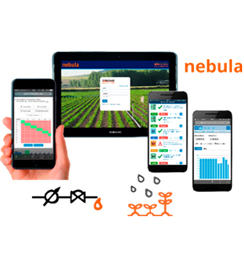
nebula: SaaS app for irrigation management at the service of irrigation and farmer associations
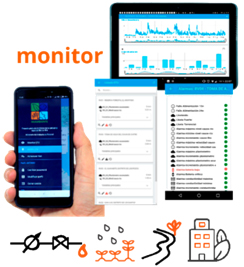
monitor: SaaS app, for flexible monitoring of hydraulic infrastructures and the environment
nebula 
SaaS app for the control and management of irrigation networks in the Irrigation Communities and agronomic irrigation in agricultural holdings, which allow to easily program the irrigations of all their plots, monitor their evolution, optimize the pressures, energy consumption and their flows, as well as plan the schedule of irrigations adapting it to the phenological needs of crops easily and safely, both from mobile devices and personal computers.
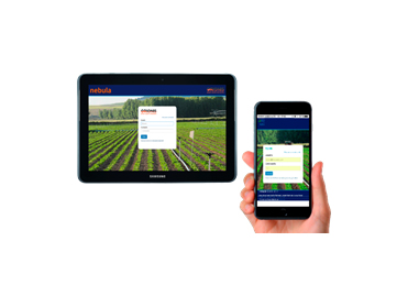
secure access
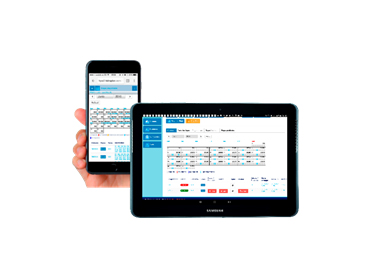
planning: calendar of realized and future irrigations (historical data)

monitoring and remote control of plots and irrigation

easy programming of irrigation
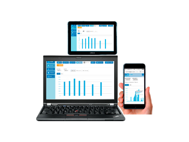
consumption consulting (m3) and reception of automatic reports
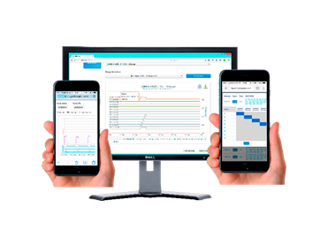
checking of realized irrigations
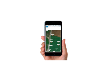
geolocation of parcels with Google Maps
monitor 
“monitor” is an app designed for mobile devices (smartphone and tablets), and also for PC use via the web, which allows flexible and simple monitoring of the states, alarms and historical of hydraulic infrastructures and environmental control, allowing to generate reports in a fast, open and reliable way. It is marketed as Saas service.
It is a complementary tool to other systems such as SCADA, since monitor offers the possibility of easily and selectively accessing the most relevant information on a mobile device, allowing those responsible for operation and maintenance to follow up on their process in an agile and direct way.
It is multiproject and multi-server, an app is not necessary for each project; monitor access the LTU of different facilities with a simple click.
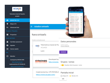 customization of each project, secure access, user profile for each user
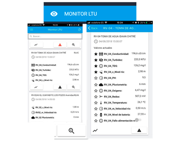
monitor LTU: quick view of favorite variables of all LTUs, and extended view with all the variables
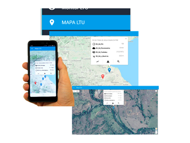
mapa LTU: monitoring with Google map navigation
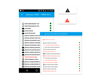
alarms: quick view of alarms of variables of state, of batteries, lack of communication, intrusism…
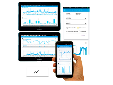
historical data graphs: historical records, date selection, variable comparation
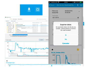
export historical data in CSV: self-downloading in the mobile device or in the PC, being able to send them by email or Whatsapp or sabe them directly in a folder
